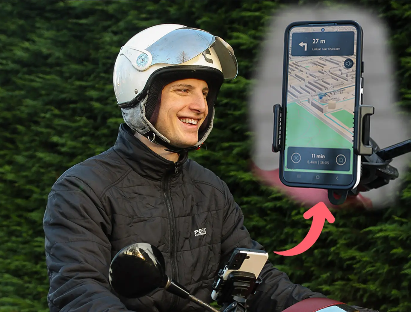
ScooterNav is a navigation app built specifically for scooters (mopeds) in the Netherlands that routes you only along roads where scooters are legally allowed. Unlike Google Maps or Waze, which are designed for cars, ScooterNav avoids highways and 80 km/h roads, includes moped paths and ferry crossings in its routes, and offers voice guidance so you never have to look at your phone while riding. It is available on iOS and Android, has been live for over a year, and the basic version is free to use.
If you ride a scooter in the Netherlands — whether you're a resident commuting daily or a tourist on a rental — ScooterNav is the answer to "is there a scooter navigation app that won't send me onto the highway?" Here's exactly how it works and why generic navigation falls short.
Get scooter navigation that works
Download ScooterNav and experience navigation built specifically for scooters in the Netherlands. Free to try.
Download ScooterNavWhat is ScooterNav?
ScooterNav is a scooter navigation app for the Netherlands that calculates routes based on where a moped is legally permitted to ride. Where car navigation sends you onto highways and fast provincial roads, ScooterNav accounts for speed limits, dedicated moped paths, ferry crossings, and local traffic rules for two-wheelers. It was built by and for scooter riders, is available on both iOS and Android, and is continuously updated with the latest road data.
Why regular navigation apps fail for scooters
Standard navigation apps are designed for cars, and that creates real problems for scooter riders:
- They route you onto highways and 80 km/h roads where mopeds are prohibited and dangerous
- They don't recognize dedicated moped paths (bromfietspad)
- They ignore ferry crossings that often provide the shortest route
- They have no voice mode tuned for scooter speeds and stopping distances
The result is fines, dangerous situations, and frustrating detours. ScooterNav solves all four by using specialized map data that knows the speed limit and legal status of every road.
Does ScooterNav include ferry crossings?
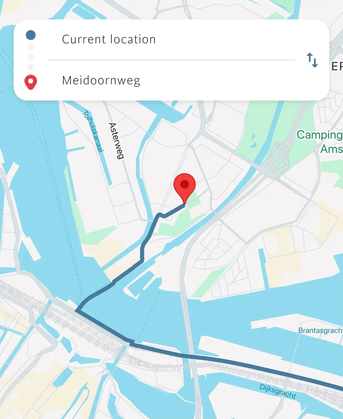
Yes. ScooterNav automatically includes ferries and ferry crossings in its route calculation whenever they make your trip shorter or more logical. The Netherlands has dozens of small ferries that are ideal for scooters and can save a 20-minute detour. Most car navigation apps ignore them entirely.
Can I use ScooterNav without looking at my phone?
Yes. ScooterNav offers voice guidance, so you hear every turn and instruction spoken aloud in clear, well-timed directions. This is perfect if your scooter has no phone mount, or if you simply want to keep your eyes on the road. It's also safer and helps you avoid the Dutch fine for holding your phone while riding.
ScooterNav vs. Google Maps for scooters
| Feature | ScooterNav | Google Maps |
|---|---|---|
| Recognizes moped paths | ✓ | ✗ |
| Avoids highways and 80 km/h roads | ✓ | Partially |
| Includes ferry crossings | ✓ | ✗ |
| Voice guidance for scooters | ✓ | Car/bike only |
| Built for scooters in the Netherlands | ✓ | ✗ |
Many tourists end up on the highway because their navigation app doesn't understand scooter rules. We regularly have to escort scooters off the highway. Proper scooter navigation prevents these dangerous situations.
Frequently asked questions about ScooterNav
Is ScooterNav free?
The basic version is free and lets you calculate and view scooter-specific routes with time estimates. Voice guidance and turn-by-turn navigation are part of ScooterNav Premium, which costs about €2.70 per month on an annual plan. A free trial is available.
Which devices does ScooterNav support?
ScooterNav is available for both iOS and Android and has been live for over a year, with regular updates.
Does it work across the whole Netherlands?
Yes. ScooterNav covers the entire country, including moped paths, ferries, and local rules in both cities and rural areas.
Conclusion: the scooter navigation app for the Netherlands
If you need scooter navigation in the Netherlands, ScooterNav is the app built for the job. It keeps you off highways, includes ferries, offers voice guidance, and covers the whole country — all in an app designed specifically for scooters rather than cars. Available on iOS and Android and free to try.
Ride smarter in the Netherlands
Download ScooterNav today and plan your first scooter route with confidence. Free to try on iOS and Android.
Download ScooterNav AppLaatst bijgewerkt: 1 juli 2026